
01
Depth · 0.00 mSurface
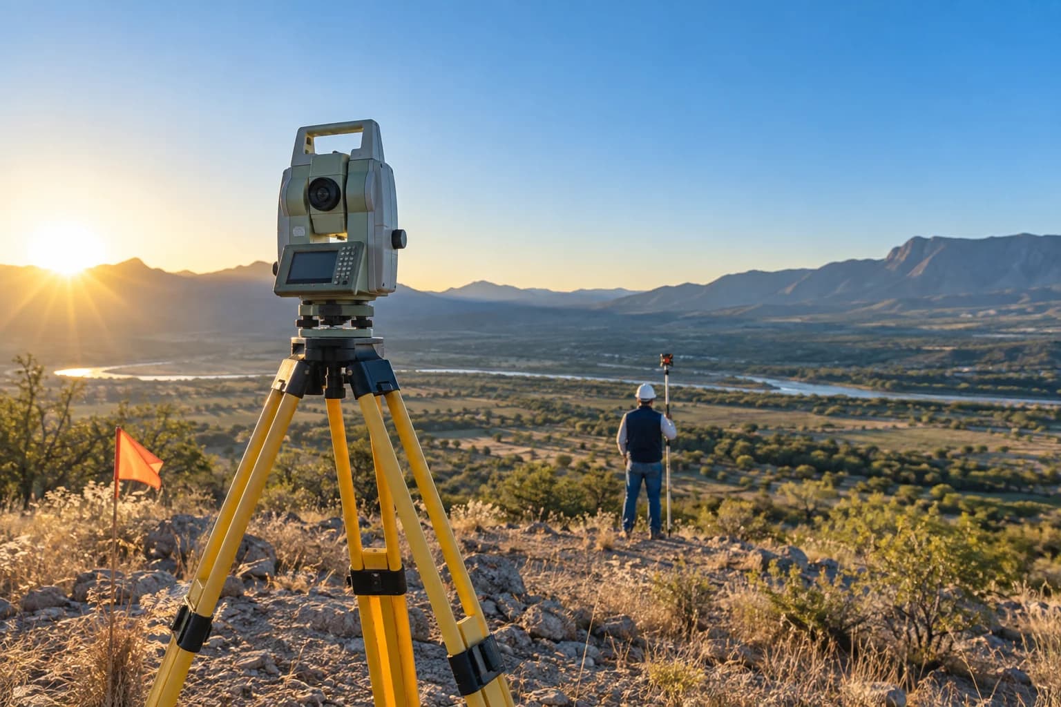
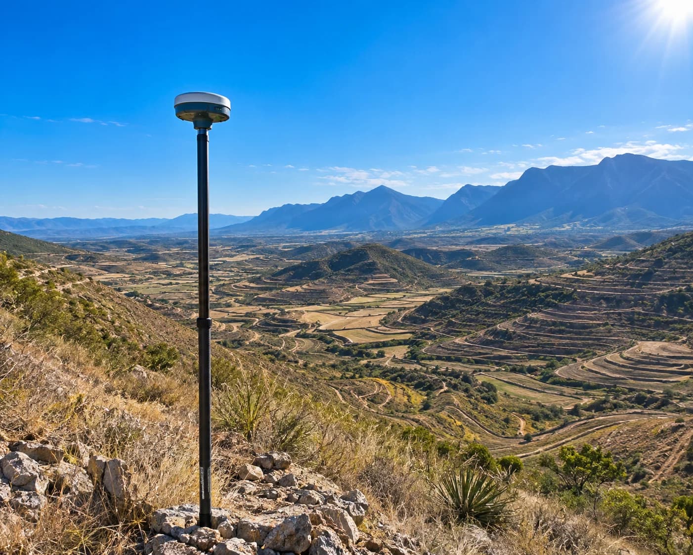
Surveying
Planimetric and altimetric surveys, geodetic control, precision levelling and construction stakeout.

Civil engineering · Monterrey, Mexico
Technical studies that precede construction: surveying, hydrology, geotechnics, structure and traffic in a single team. Every site decision backed by signed engineering judgement.
Deliver integral civil-engineering solutions that turn complex needs into safe, efficient and technically sound projects.
Be the engineering behind the projects that define the future of infrastructure. A firm known for the depth of its knowledge and the trust it earns.
Services
Specialised solutions for every stage of your project. From field survey to signed report.
Planimetric and altimetric surveys, geodetic control, precision levelling and construction stakeout.
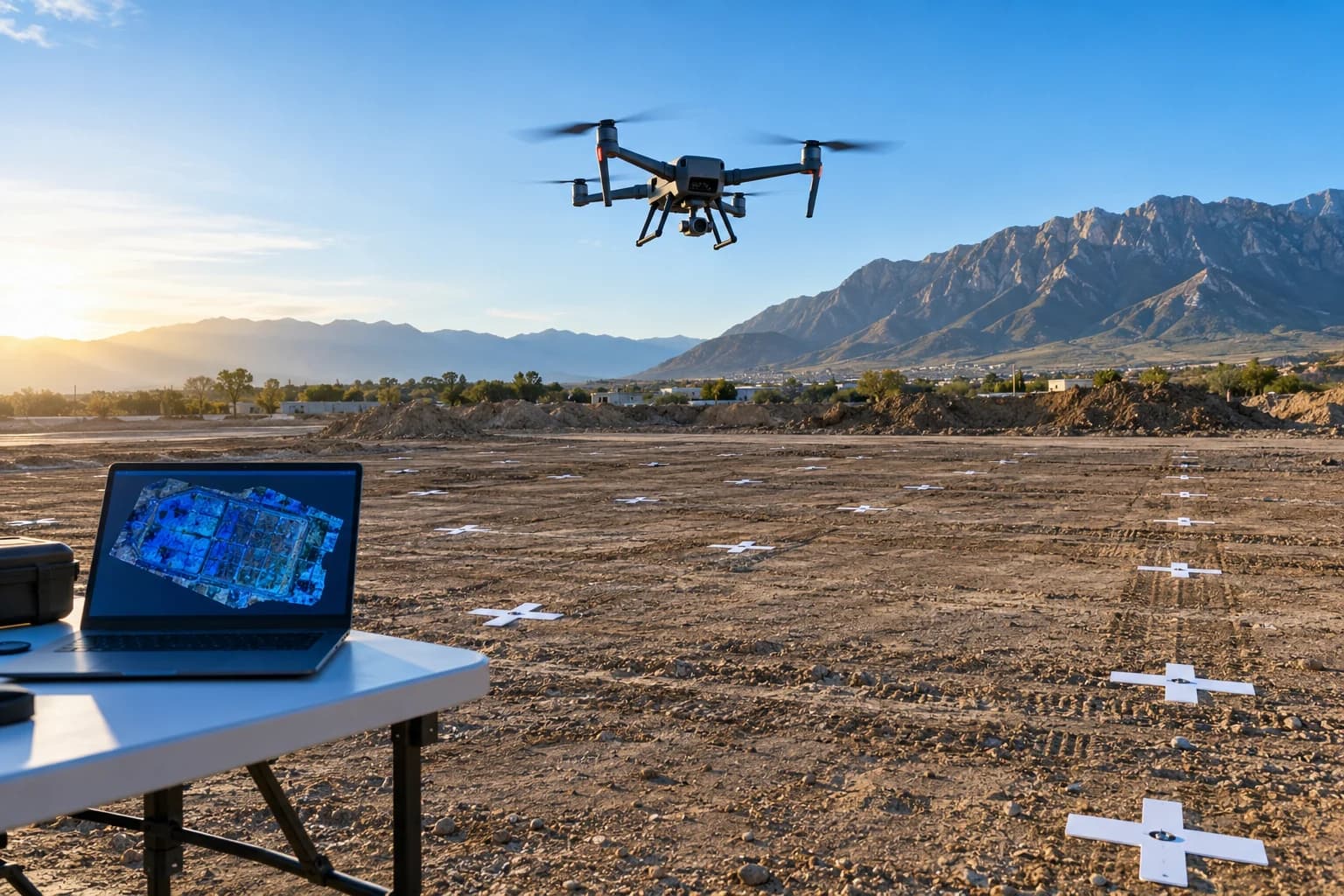
Drone photogrammetry, digital terrain models, orthomosaics and GIS.
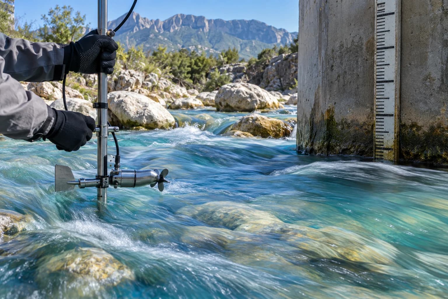
Basin delineation, gauging, flood analysis and flood-risk zoning.
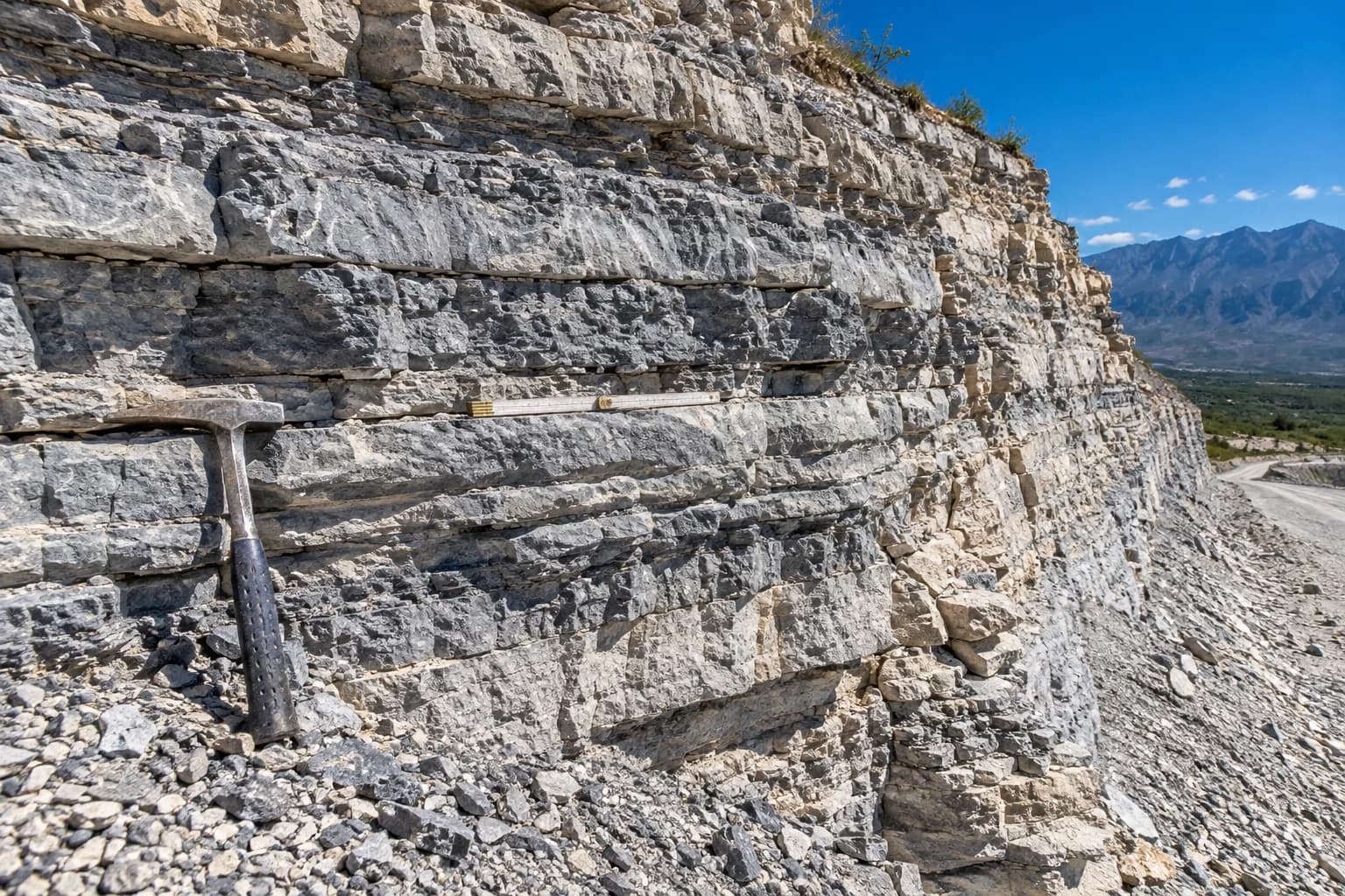
Formation characterisation, structural mapping and site geological hazard assessment.
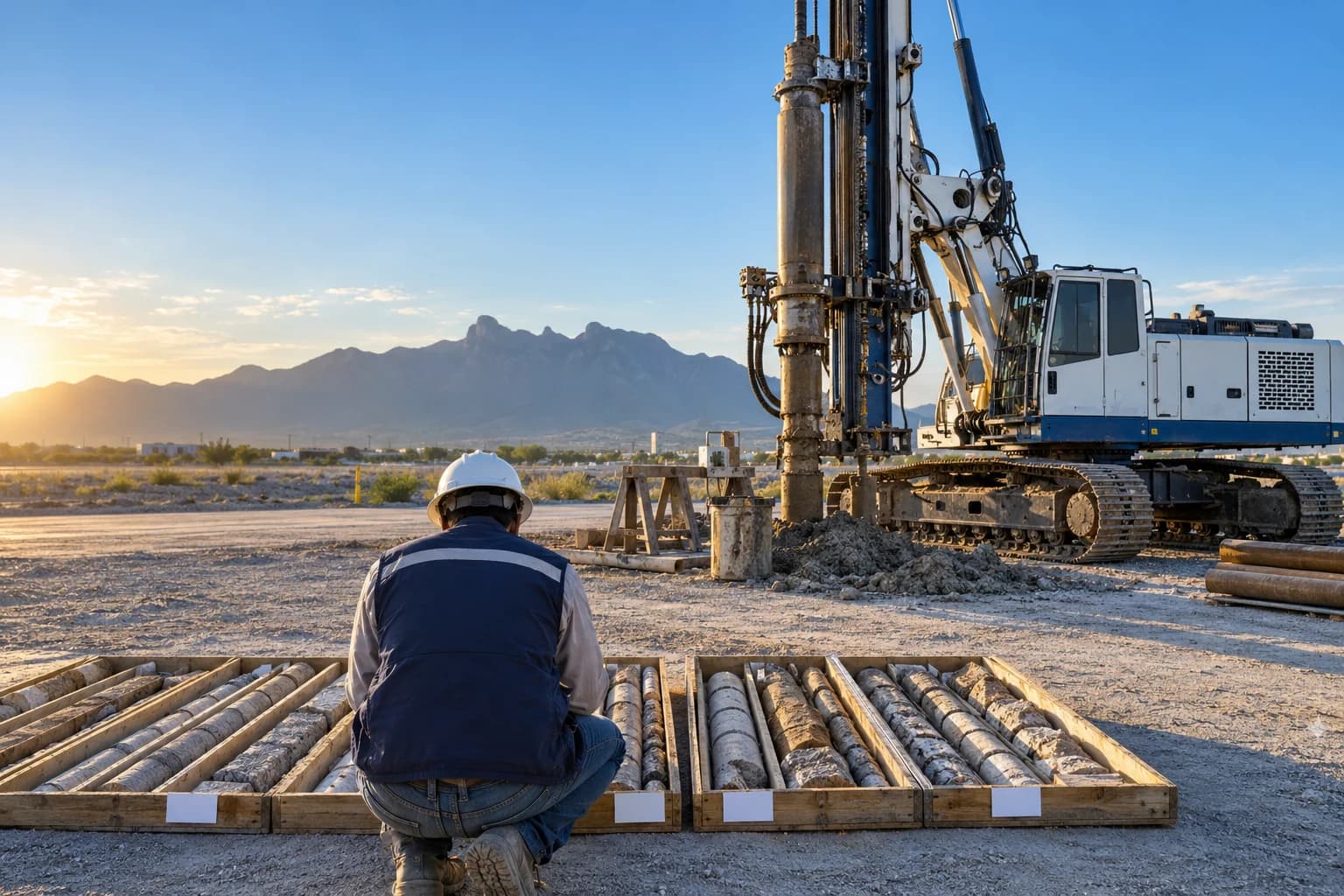
Boreholes, sampling, laboratory testing, bearing capacity and foundation recommendations.
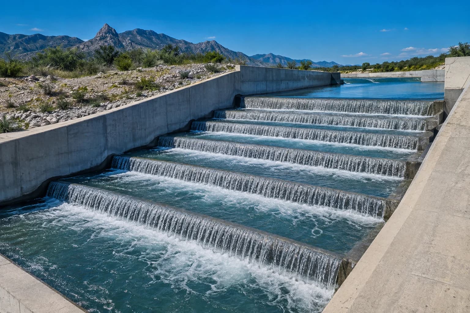
Storm drainage, channels, protection works and hydraulic modelling.
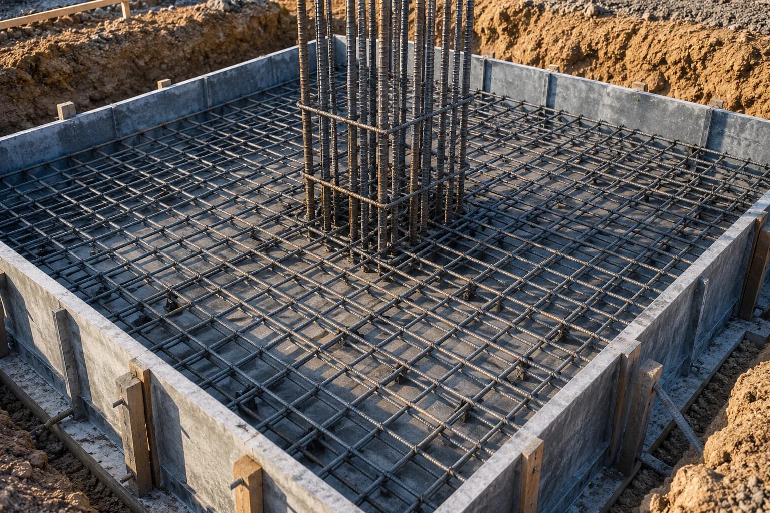
Analysis and design of foundations and structures to current codes.
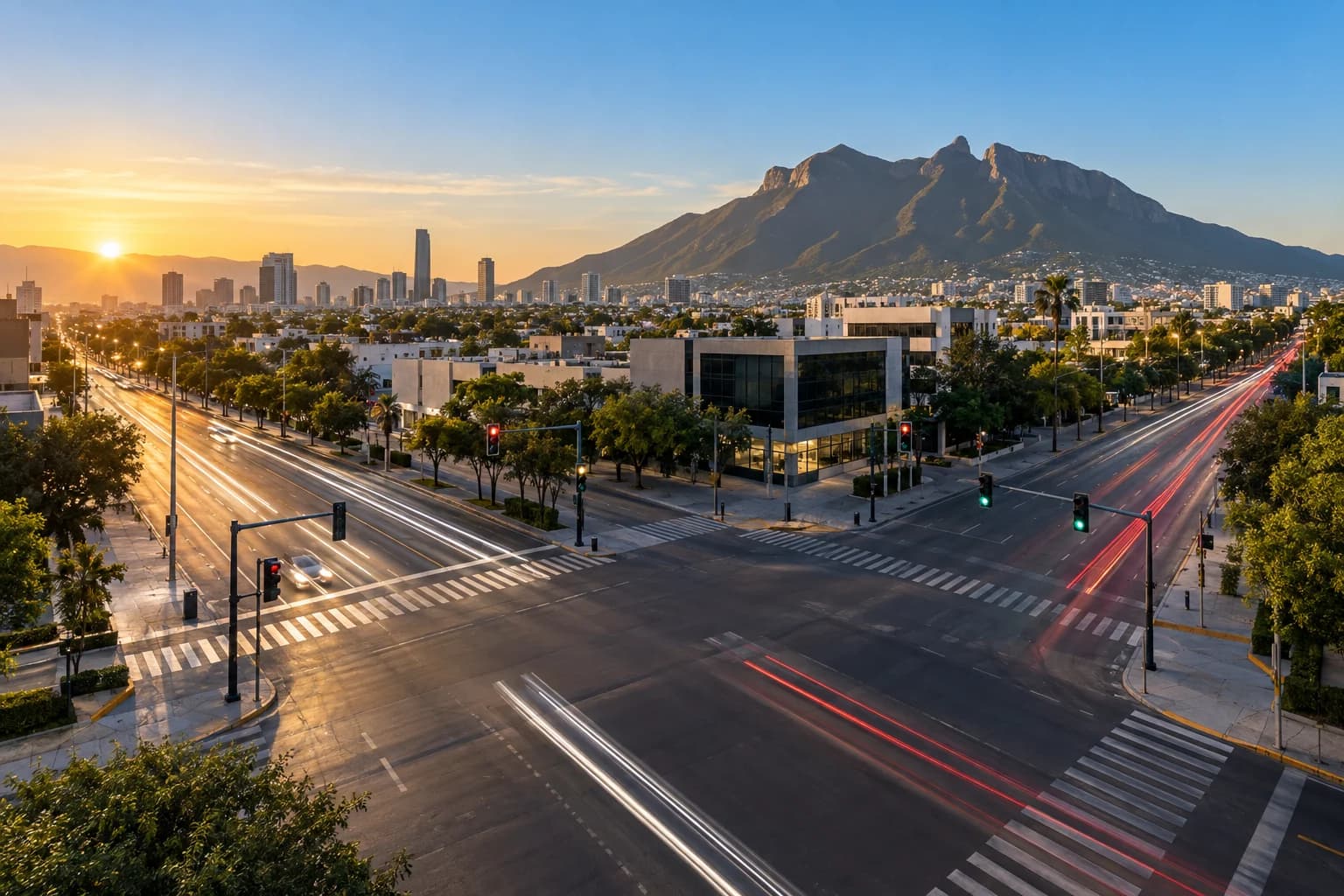
Vehicle counts, road-impact studies and mitigation proposals for developments.
Expert reports signed by a responsible engineer and on-site technical control so what was studied gets built.
Studies are not paperwork: they are the basis for decisions on foundations, stability and project behaviour.
in disaster damage and losses in Mexico during 2024
CENAPRED, socioeconomic impact of disasters 2024
of those losses were caused by hydrometeorological events
CENAPRED 2024
homes damaged by the 2017 and 2018 earthquakes
Government of Mexico
required for their reconstruction
Government of Mexico
Public figures cited in HIDRODAEL Ingeniería's corporate presentation.
Process
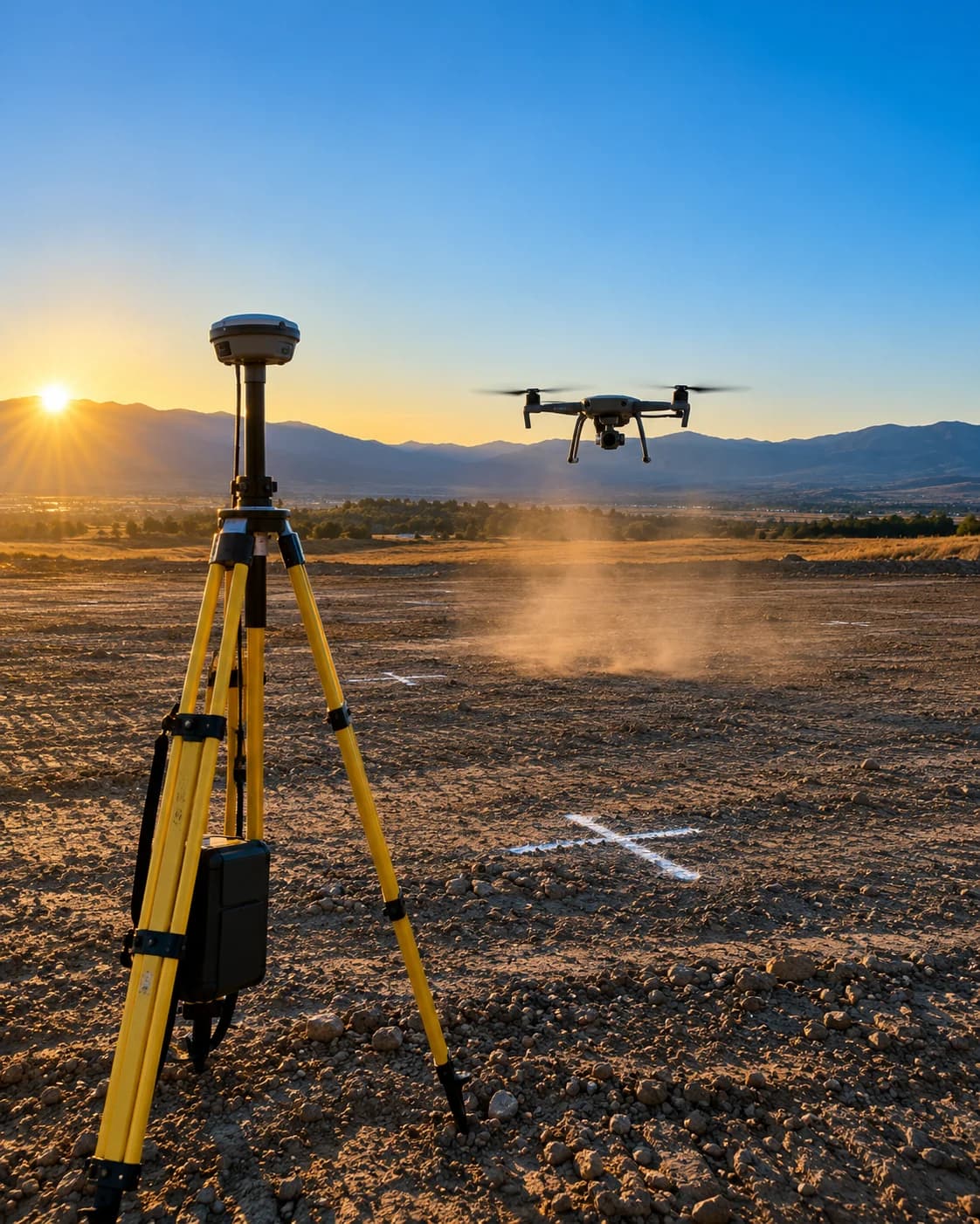
Surveying, boreholes, gauging and sampling on site. Every point with coordinate and elevation.
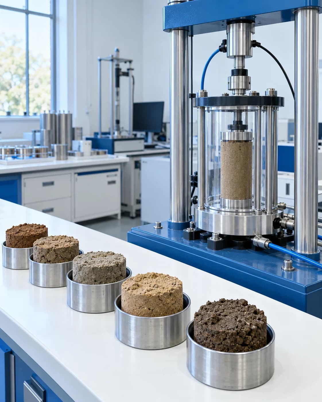
Laboratory, hydraulic modelling and structural analysis. Data becomes design parameters.
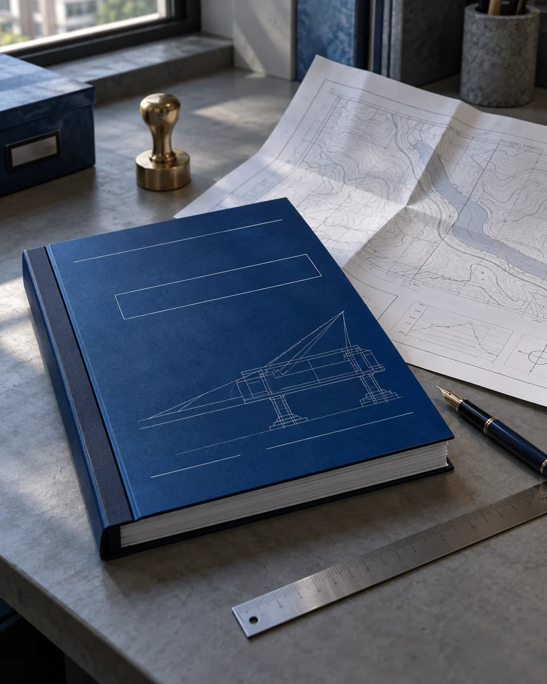
Report signed by a responsible engineer with clear, defensible recommendations.
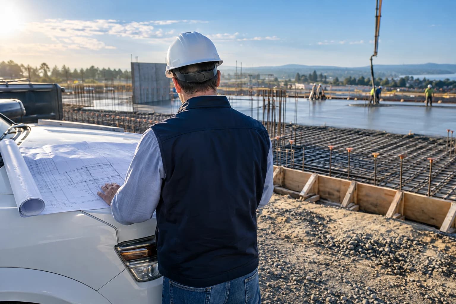
On-site follow-up so what was studied is built as designed.
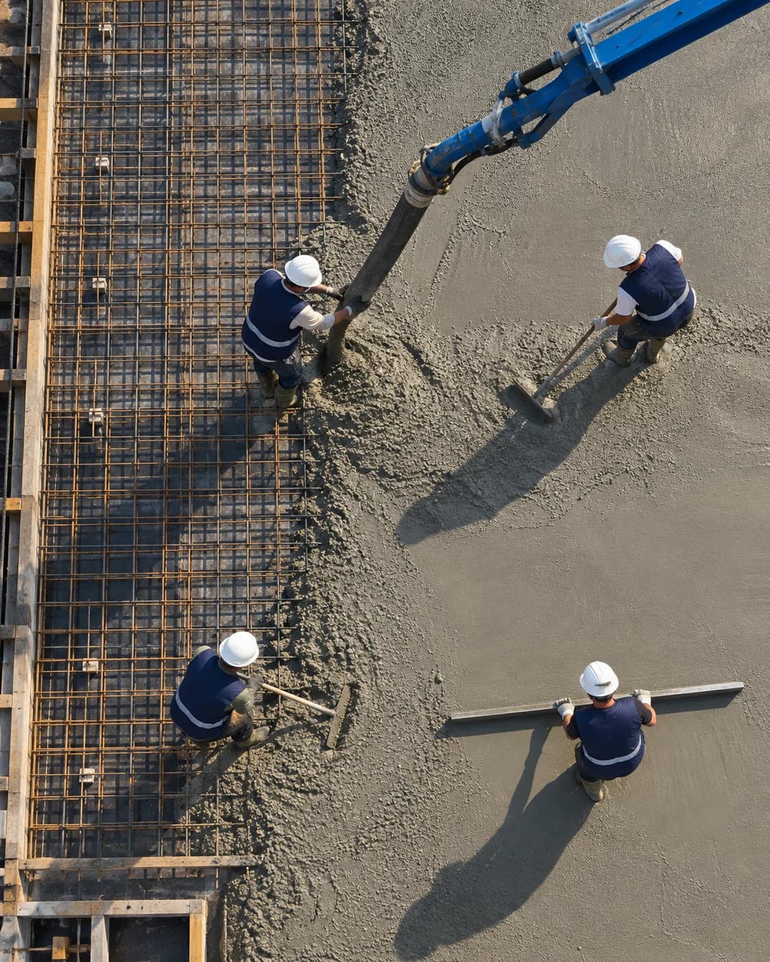
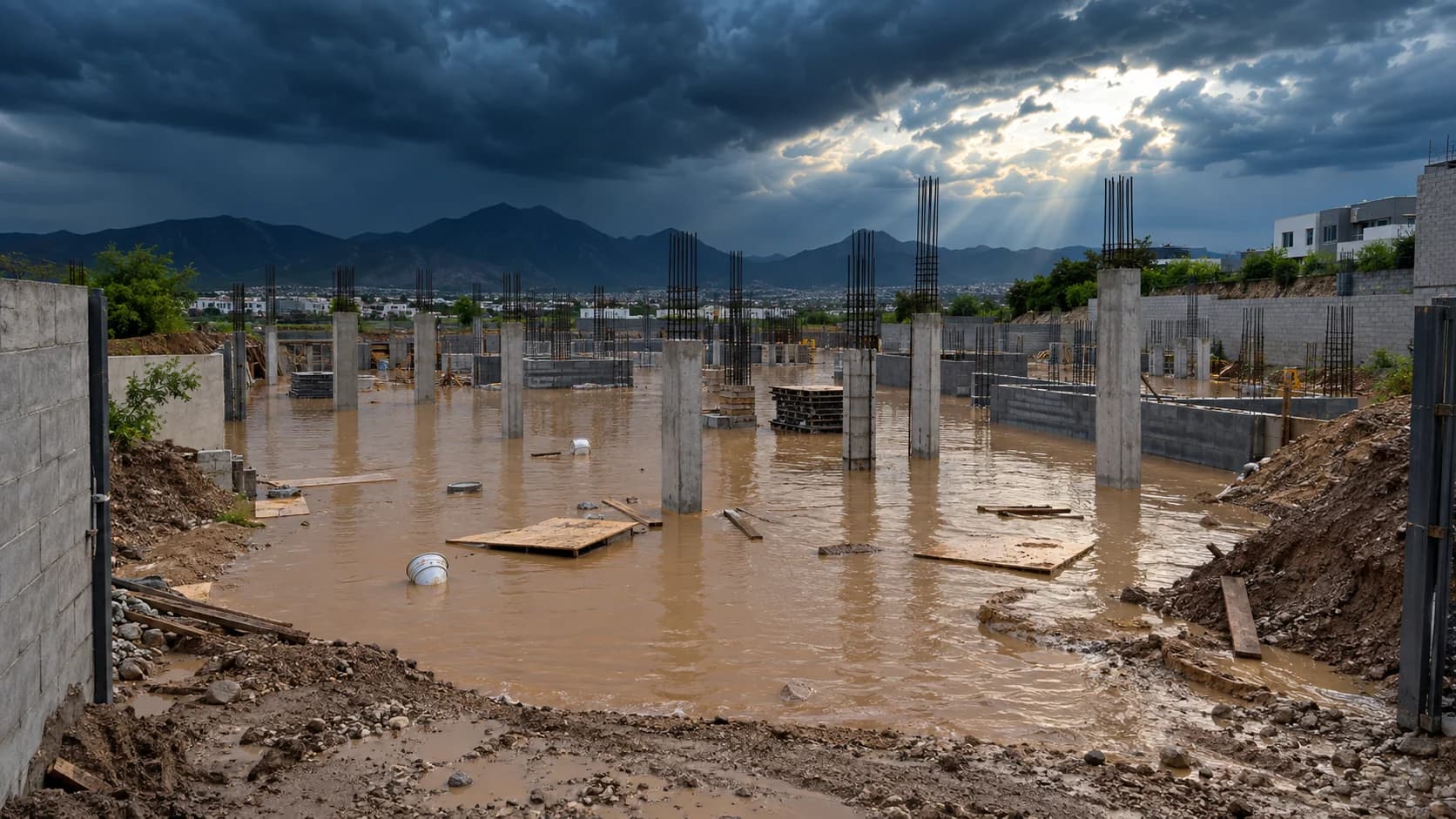 Without technical analysis
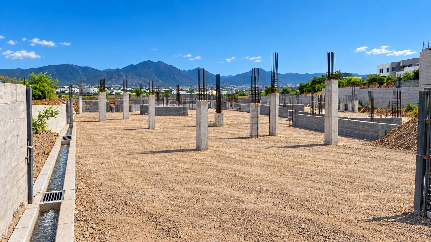 With HIDRODAEL
Move your mouse over the table to compare.

Studies to tender and build public infrastructure with signed technical backing.

Geotechnics, surveying and supervision so the build goes as designed.

Soil mechanics, hydrology and structures for plants, yards and pits.

Surface hydrology and hydraulics for canals, levees and intakes.

Road impact, storm drainage and foundations for subdivisions and towers.

Expert reports and soil studies to build on your land with certainty.
Every study leaves a document ready for decision-making, tendering and construction. These are the typical scopes we work with.
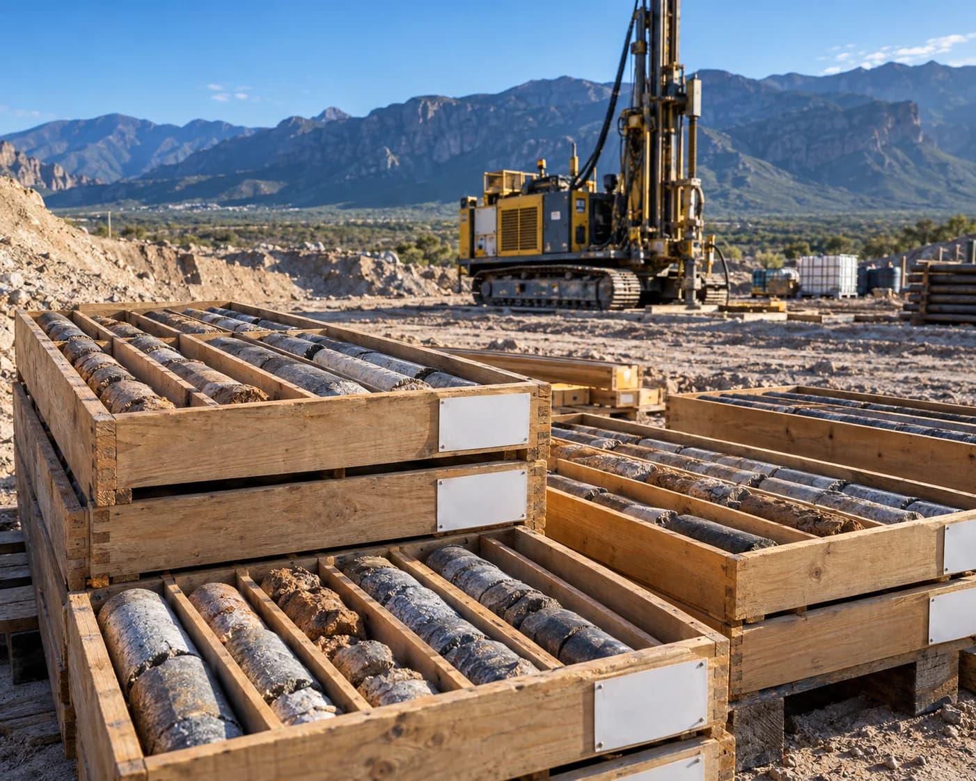
Boreholes S-01 to S-04 · water table · USCS classification · bearing capacity
LevelSigned report + foundation design parameters
Delineation · gauging · design floods · risk zoning
LevelHydrology report + flood-zone drawings
Geodetic control · drone flight · orthomosaic · contour lines
LevelSurvey drawings + digital terrain model
Directional counts · level of service · mitigation proposal
LevelRoad-impact report
Named client cases are published with express authorisation.
 DOC-01 / 05
By a responsible engineer. Scope, methodology, results and recommendations.
DOC-02 / 05Contour lines, sections and georeferenced orthomosaics.
DOC-03 / 05USCS classification, water table and bearing capacity per borehole.
DOC-04 / 05Modelling, code criteria and sizing.
DOC-05 / 05Technical and legal backing for every stage of the build.
Tell us what you are going to build and where. We tell you which studies you need and how long they take.